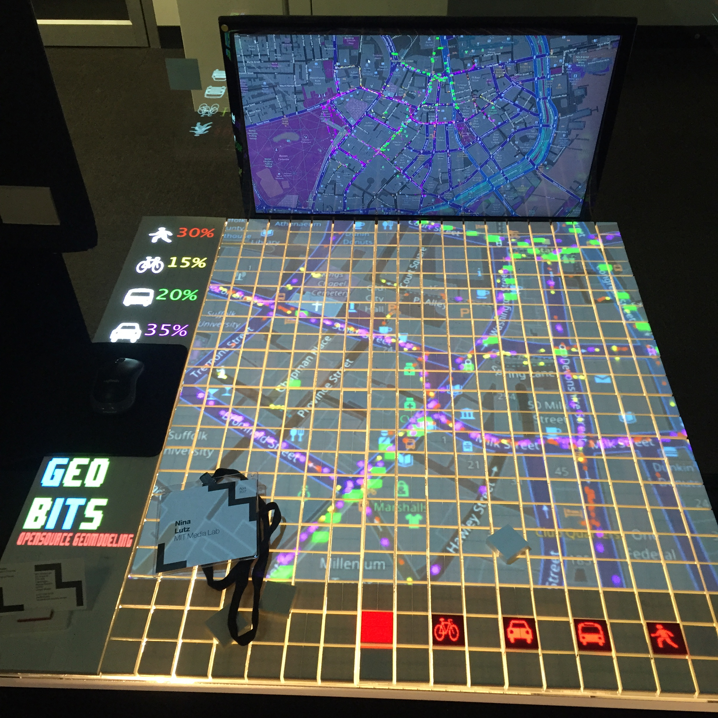
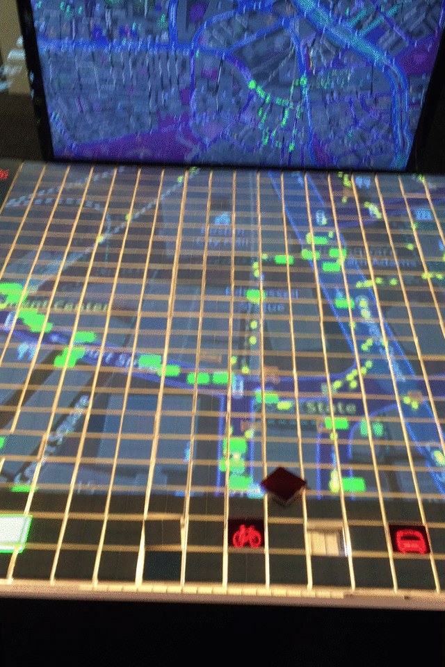
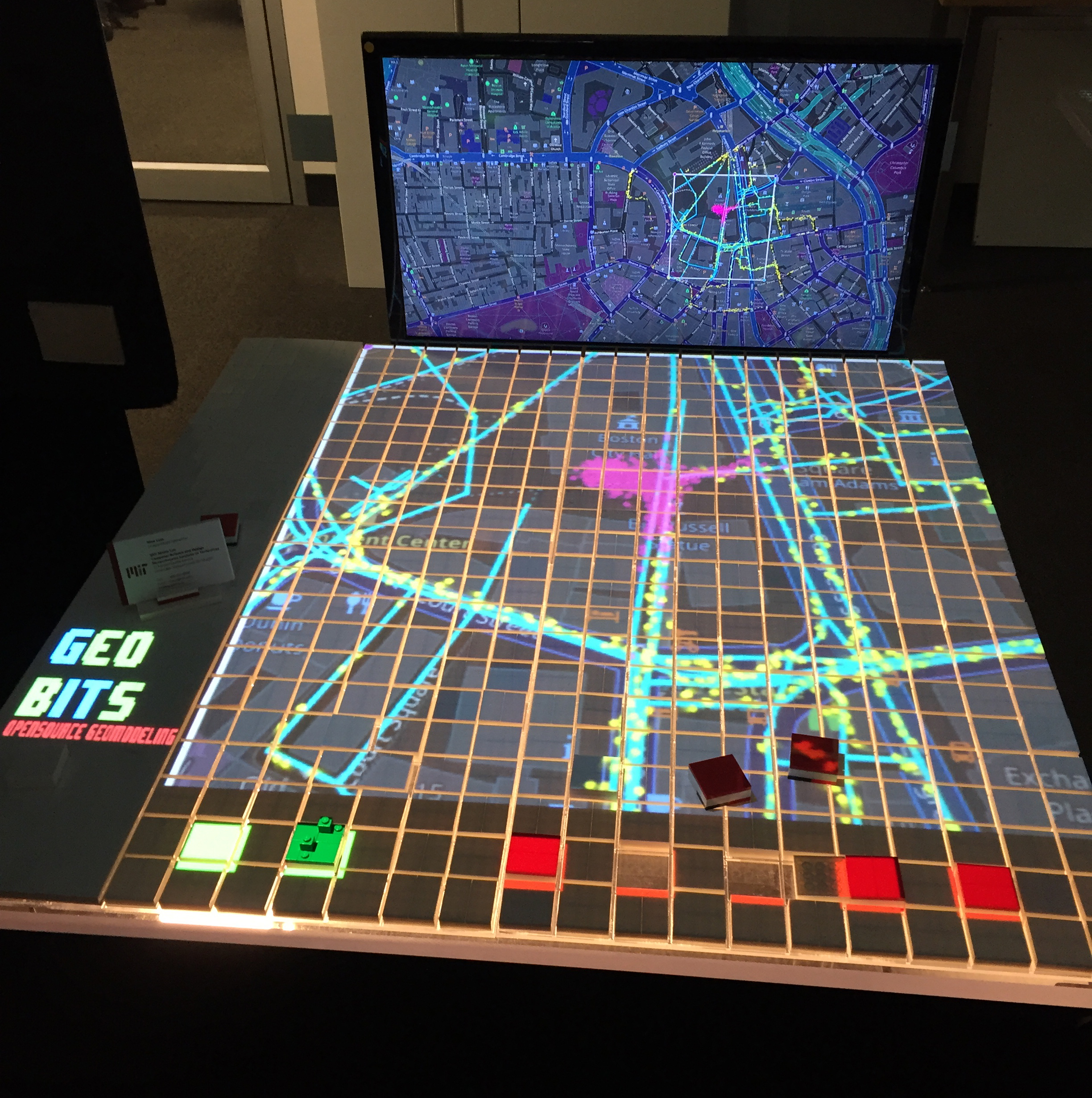
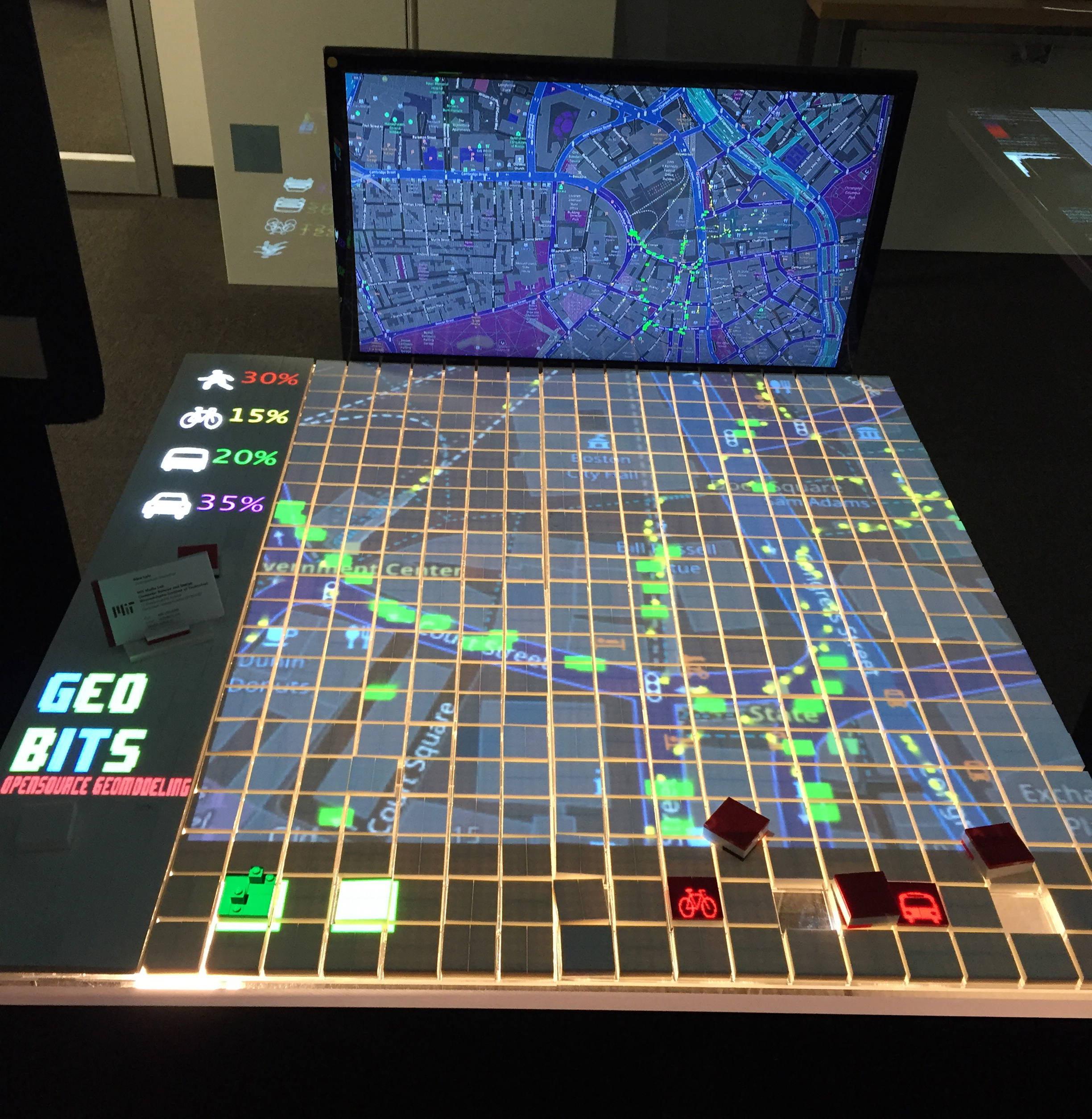
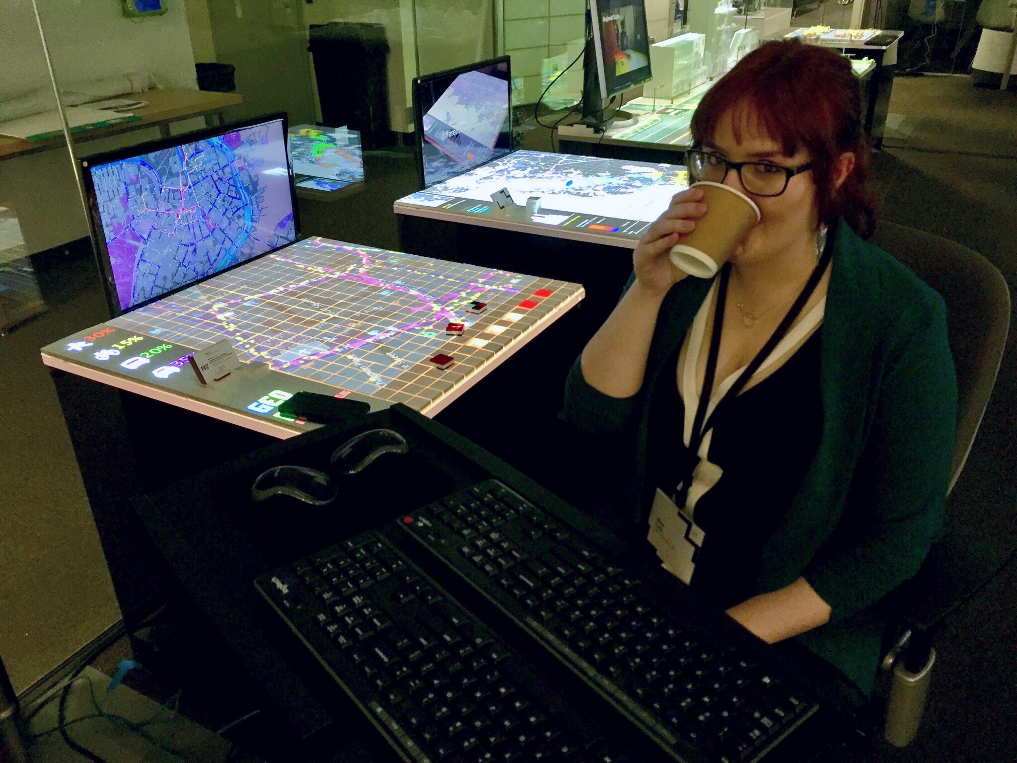
GeoBits is a software system and rapid prototyping tool for urban development. It allows users to select urban areas around the world and easily make and visualize urban math models. I engineered an infrastructure to rapidly query the OSM and Census API from various countries. The code parses GIS and Census data to generate models. Models include general urban flow, pedestrian safety, multimodal transportation systems. The software is integrated into a tangible user interface where the user can deploy various interventions and interact with the model in a physical way.